 SITELIVE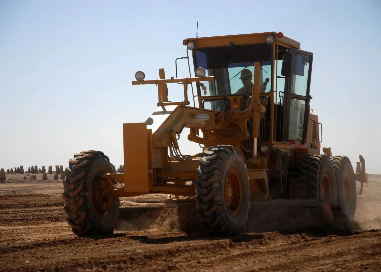
The short version
Machine control tells an operator — or the machine itself — where the cutting edge is relative to the approved design. A 2D system controls slope or depth from local sensors; a 3D system locates the machine with GNSS or a robotic total station and compares the bucket, blade or screed to a digital surface. The display shows cut and fill continuously, and higher-control systems drive parts of the hydraulics automatically.
What sits on the machine
The stack combines positioning, orientation and machine geometry: dual GNSS antennas or a total-station prism, inertial sensors, boom/stick/bucket angle sensors, a calibrated model of every pivot, and an in-cab computer carrying the current design. Accuracy is not a single number. It depends on correction services, satellite visibility, calibration, wear in pins and edges, the survey control the model was built from, and whether the right design revision is loaded.
Where the productivity is proven
The immediate gain is fewer passes and fewer interruptions. Excavators can dig to grade without a person repeatedly checking the base; dozers can spread to a surface without stakes; graders can hold crossfall while the operator manages material and traffic. The strongest return appears on repetitive earthworks where rework, survey call-backs and over-excavation are expensive. It is less compelling on tiny, congested jobs where setup and model management outweigh the machine hours saved.
2D, 3D and autonomy are different purchases
2D guidance is local and comparatively simple: depth, slope or laser reference. 3D guidance adds project coordinates and a live design surface. Automatic grade control closes part of the loop by moving blade or boom hydraulics to hold the target. Full autonomy adds path planning, obstacle management, exclusion zones and remote supervision. Buying 3D machine control does not make a site autonomous; it makes production measurable and gives the operator a much better instrument.
The honest limits
A machine will cut the wrong surface very accurately if document control is weak. GNSS can degrade beside structures or under canopy; total stations need line of sight; attachments and wear edges need recalibration; and the design model may omit buildability decisions that exist only in a foreman’s head. Final acceptance still needs independent verification appropriate to the work. Machine control reduces survey dependence during production — it does not remove survey responsibility.
What a contractor should put in place first
Start with one controlled workflow: a current approved surface, named responsibility for model issue and machine loading, daily calibration checks, independent hold-point verification, and as-built data returned to the project record. The value compounds when production quantities, machine telemetry, survey checks and programme status share the same location and revision — because the team can prove not only what the design said, but what the machine actually built.